
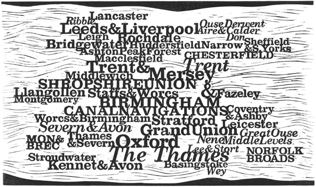
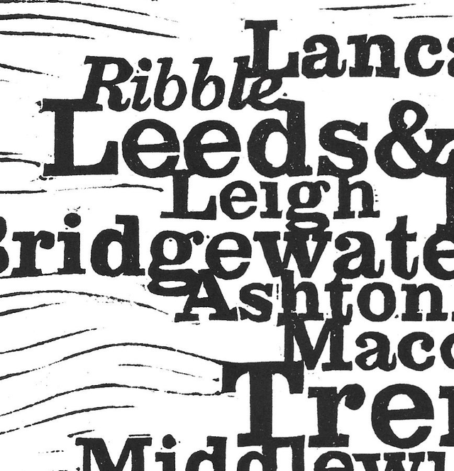
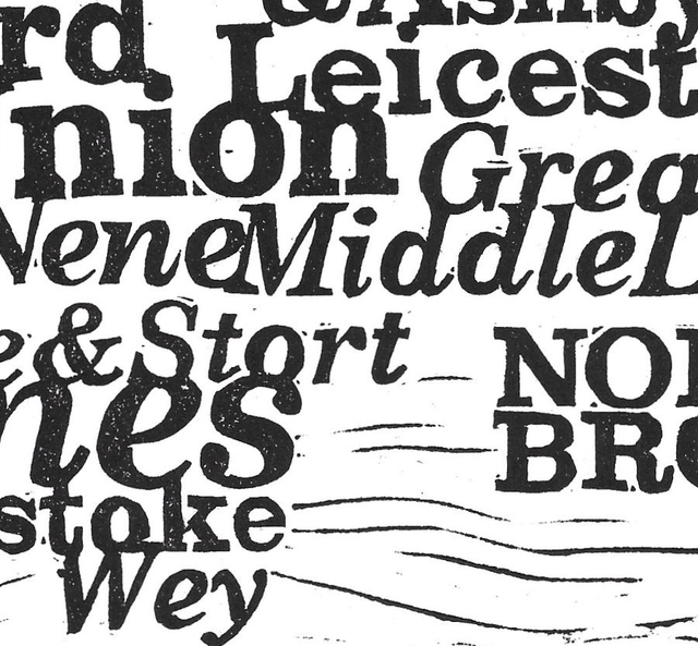
The Map
£30.00
This map was tricky trying to make it as simple as possible while working out where, and if, each canal joined another one. The map shows all the major canals and the canals they link into. It also shows the rivers (in italic) that are navigable and join the system. Some, like the Mon & Brec, at the moment stand alone and there are some smaller branches that I couldn't fit in. In effect it is a strange map of England and Wales, south at the bottom, north at the top.
This map is printed as an open (on demand) edition.
440 x 260mm
2014
Share